The Acequia Institute (TAI) is a 501(c)(3) non-profit organization dedicated to research, education, and program extension to support the flourishing of the acequias, or communal irrigation canals, farming communities of the Upper Rio Grande watershed in New Mexico and Colorado. Since the 1980s, beginning with the work of the precursors of TAI, including the Colorado College Rio Grande Bioregions Project (est. 1986), several research grants led to the development of what is possibly the largest multi-media collection of archival materials related to the environmental, cultural, legal, and social history of acequia farms and farming families.

Supported by grants from the National Endowment for the Humanities #RO 22707-94, the Ford Foundation, and the Colorado Historical Society, between 1995 and 2005, a group of 15 social scientists and humanities scholars were led by a group of nine Chicana/o acequia farm families in conducting the first major study of acequia agriculture since the years of the Great Depression when the federal government conducted its famous Tewa Basin study (Weigle 1975).

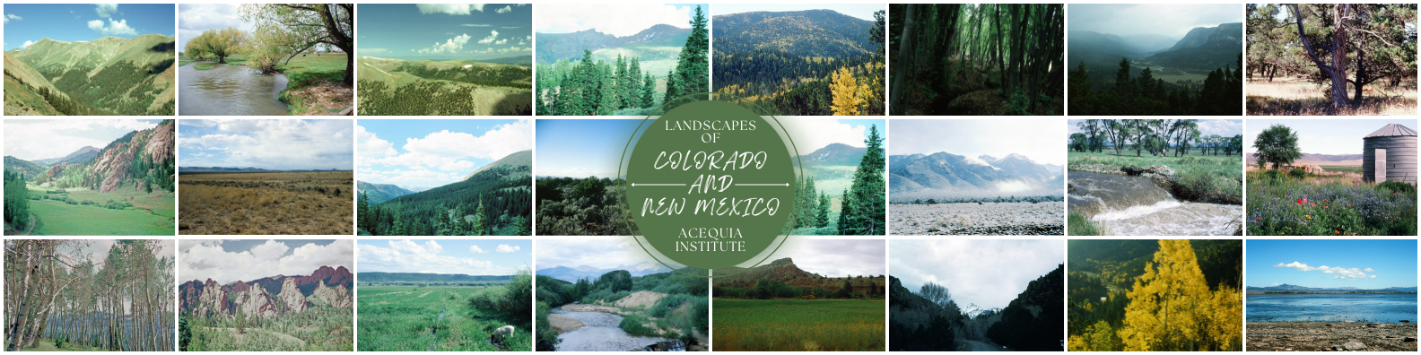
The collection of photographs in the Acequia Institute Photograph Collection spans nearly 20 years and documents the work and livelihood of a community of Mexicano/Chicano farmers in the San Luis Valley in Colorado, contributing and altering the narrative of farm working. This digital collection captures themes of food production, the care of the land and environment, and water management. In a time where large-scale agribusiness is defined by chemicals and seed control, these farmers work to maintain acequia culture. 

Date Taken

Photograph of landscape in Cripple Creek, Colorado.

Loading

Photograph of landscape in Guanella Pass, Colorado.

Loading

Photograph of landscape in Rio Grande National Forest, Colorado.

Loading

Photograph of landscape in Moffat, Colorado.

Loading

Photograph of landscape in San Luis, Colorado.

Loading

Photograph of landscape in Costilla County, Colorado.

Loading

Photograph of landscape in San Luis, Colorado.

Loading

Chama, New Mexico

February 1991

Photograph of landscape in Chama, New Mexico.

Loading

Photograph of landscape in Las Trampas, New Mexico.

Loading

Photograph of landscape in San Luis, Colorado.

Loading

Photograph of landscape in San Luis, Colorado.

Loading

Photograph of landscape in San Luis, Colorado.

Loading

Photograph of landscape in San Luis, Colorado.

Loading

Photograph of landscape in Valdez, New Mexico.

Loading

Photograph of landscape in Las Trampas, New Mexico.

Loading

San Luis, Colorado

October 1991

Photograph of landscape in San Luis, Colorado.

Loading

Photograph of landscape in Abiquiu, New Mexico.

Loading

Photograph of landscape in Farmington, New Mexico.

Loading

Photograph of landscape in San Luis, Colorado.

Loading

Photograph of landscape in San Luis, Colorado.

Loading

Taos, New Mexico

August 1995

Photograph of landscape in Taos, New Mexico.

Loading

Photograph of landscape in San Luis, Colorado.

Loading

Photograph of landscape in Valdez, New Mexico.

Loading

San Luis, Colorado

September 1996

Photograph of landscape in San Luis, Colorado.

Loading

Abiquiu, New Mexico

September 1996

Photograph of landscape in Abiquiu, New Mexico.

Loading

Photograph of landscape in San Luis, Colorado.

Loading

Photograph of landscape in Valdez, New Mexico.

Loading

Photograph of landscape in Wheeler Geologic Area, Colorado.

Loading

Photograph of landscape in Taos, New Mexico.

Loading

Photograph of landscape in San Luis, Colorado.

Loading

Photograph of landscape in Alamosa, Colorado.

Loading

Photograph of landscape in San Luis, Colorado.

Loading

San Luis, Colorado

September 1997

Photograph of landscape in San Luis, Colorado.

Loading

San Luis, Colorado

January 1998

Photograph of landscape in San Luis, Colorado.

Loading

Photograph of landscape in San Luis, Colorado.

Loading

San Luis, Colorado

September 1998

Photograph of landscape in San Luis, Colorado.

Loading

Photograph of landscape in San Luis, Colorado.

Loading

Photograph of landscape in San Luis, Colorado.

Loading

Photograph of landscape in Taos, New Mexico.

Loading

San Luis, Colorado

December 1999

Photograph of landscape in San Luis, Colorado.

Loading

San Luis, Colorado

January 2001

Photograph of landscape in San Luis, Colorado.

Loading

Photograph of landscape in Sanford, Colorado.

Loading

Photograph of landscape in San Luis, Colorado.

Loading

Cripple Creek, Colorado

Guanella Pass, Colorado

Rio Grande National Forest, Colorado

Moffat, Colorado

San Luis, Colorado

Costilla County, Colorado

San Luis, Colorado

Chama, New Mexico

Las Trampas, New Mexico

San Luis, Colorado

San Luis, Colorado

San Luis, Colorado

San Luis, Colorado

Valdez, New Mexico

Las Trampas, New Mexico

San Luis, Colorado

Abiquiu, New Mexico

Farmington, New Mexico

San Luis, Colorado

San Luis, Colorado

Taos, New Mexico

San Luis, Colorado

Valdez, New Mexico

San Luis, Colorado

Abiquiu, New Mexico

San Luis, Colorado

Valdez, New Mexico

Wheeler Geologic Area, Colorado

Taos, New Mexico

San Luis, Colorado

Alamosa, Colorado

San Luis, Colorado

San Luis, Colorado

San Luis, Colorado

San Luis, Colorado

San Luis, Colorado

San Luis, Colorado

San Luis, Colorado

Taos, New Mexico

San Luis, Colorado

San Luis, Colorado

Sanford, Colorado

San Luis, Colorado

1938
1939
1940
1941
1942
1943
1944
1945
1946
1947
1948
1949
1950
1951
1952
1953
1954
1955
1956
1957
1958
1959
1960
1961
1962
1963
1964
1965
1966
1967
1968
1969
1970
1971
1972
1973
1974
1975
1976
1977
1978
1979
1980
1981
1982
1983
1984
1985
1986
1987
1988
1989
1990
1991
1992
1993
1994
1995
1996
1997
1998
1999
2000
2001
2002
2003
2004
2005
2006
2007
2008
2009
2010
2011
2012
2013
2014
2015
2016
2017
2018
2019
2020
2021
2022
2023
2024
2025
2026
2027
2028
2029
2030
2031
2032
2033
2034
2035
2036
2037
2038
2039
2040
2041
2042
2043
2044
2045
2046
2047
2048
2049
2050
2051
Aug.
Aug.
Sept.
Oct.
Nov.
Dec.
Feb.
March
April
May
June
July
Aug.
Sept.
Oct.
Nov.
Dec.
Feb.
March
April
May
June
July
Aug.
Sept.
Oct.
Nov.
Dec.
Feb.
March
April
May
June
July
Aug.
Sept.
Oct.
Nov.
Dec.
Feb.
March
April
May
June
July
Aug.
Sept.
Oct.
Nov.
Dec.
Feb.
March
April
May
June
July
Aug.
Sept.
Oct.
Nov.
Dec.
March
April
May
May
June
July
Aug.
Sept.
Oct.
Nov.
Dec.
Feb.
March
April
May
June
July
Aug.
Sept.
Oct.
Nov.
Dec.
Feb.
March
April
May
June
July
Aug.
Sept.
Oct.
Nov.
Dec.
Feb.
March
April
May
June
July
Aug.
Sept.
Oct.
Nov.
Dec.
Feb.
March
April
May
June
July
Aug.
Sept.
Oct.
Nov.
Dec.
Feb.
March
April
May
June
July
Aug.
Sept.
Oct.
Nov.
Dec.
Dec.
March
March
April
May
June
July
Aug.
Sept.
Oct.
Nov.
Dec.
Feb.
March
April
May
June
July
Aug.
Sept.
Oct.
Nov.
Dec.
Feb.
March
April
May
June
July
Aug.
Sept.
Oct.
Nov.
Dec.
Feb.
March
April
May
June
July
Aug.
Sept.
Oct.
Nov.
Dec.
Feb.
March
April
May
June
July
Aug.
Sept.
Oct.
Nov.
Dec.
Feb.
March
April
May
June
July
Aug.
Aug.
Sept.
Oct.
Nov.
Dec.
Feb.
March
April
May
June
July
Aug.
Sept.
Oct.
Nov.
Dec.
Feb.
March
April
May
June
July
Aug.
Sept.
Oct.
Nov.
Dec.
Feb.
March
April
May
June
July
Aug.
Sept.
Oct.
Nov.
Dec.
Feb.
March
April
May
June
July
Aug.
Sept.
Oct.
Nov.
Dec.
Feb.
March
April
May
June
July
Aug.
Sept.
Oct.
Nov.
Dec.
Feb.
March
April
May
June
July
July
Aug.
Sept.
Oct.
Nov.
Dec.
Feb.
March
April
May
June
July
MarkerMarker
2
41
Leaflet © OpenStreetMap contributors